
 |
741 Gravois Rd Fenton, Missouri 63026 636-343-1234 (Church Rectory) Established: 1878 Burials indexed: 304 (1878–2002) |
 |
|
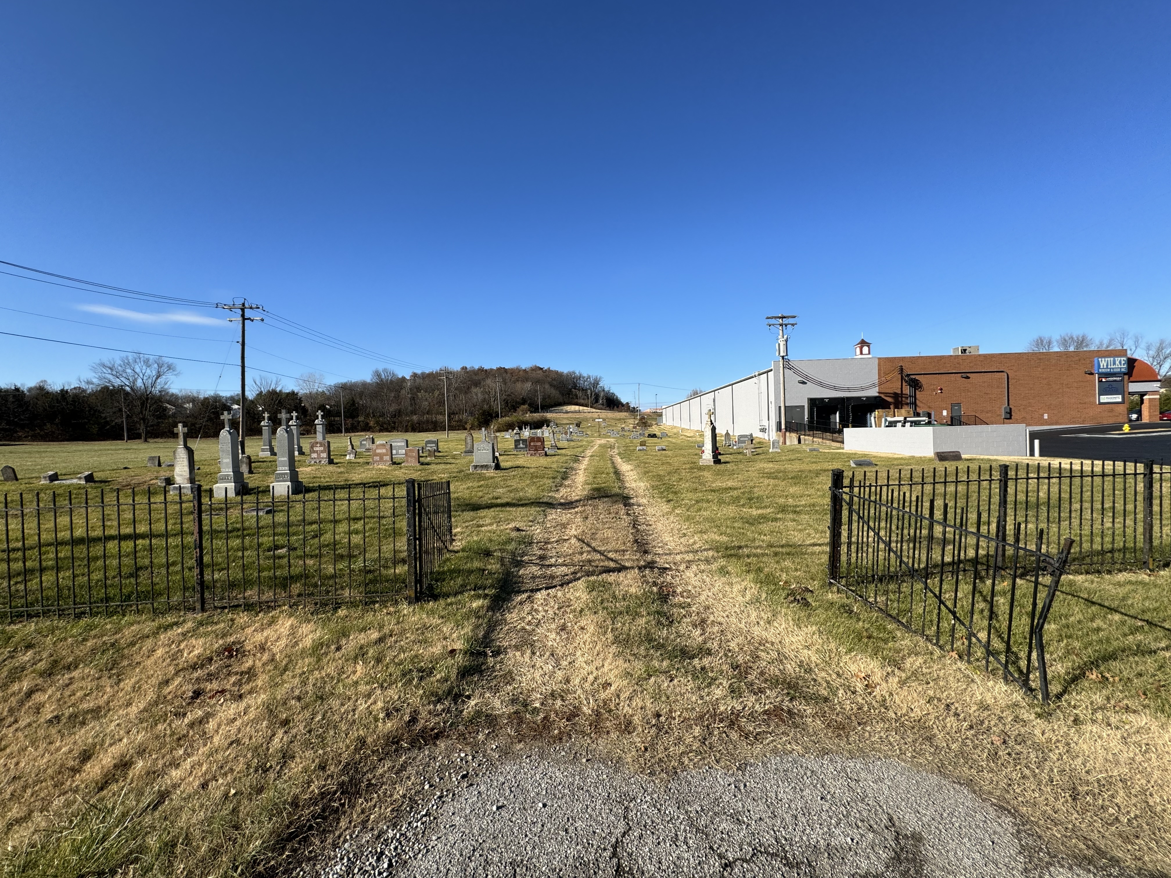
Photo taken by Jim Bellenger  2023 2023 |
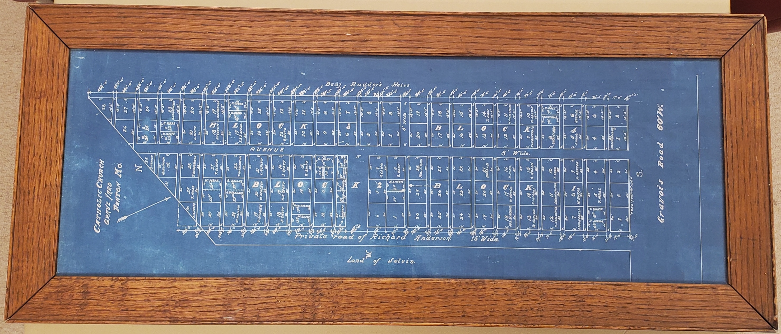
Click on this map to see it georeferenced in a Google Maps interface. Map Courtesy of St Paul Catholic Church of Fenton |
GPS Coordinates: Latitude: 38.5109863, Longitude: -90.4491312 Click here for a Google map to the church and cemetery.
This cemetery was established before 1878 and is owned by the local parish. Today, the cemetery and church are separated by the expanded intersection of Highway 141 and Gravois. The cemetery is tucked away on the southwest side of the intersection along Old Gravois Road. (Map directions above are to the church.)
Source of Data for this Cemetery
Data recorded from tombstones in 1982 by StLGS volunteers. Additional data provided electronically to StLGS by the Catholic Archdiocese of St. Louis.
Cemetery Specific Data Notes
“Shabby Cemetery Sags into the 21st Century,” Southwest County Journal, 12 December 1999, page A1.
Sappington-Concord, A History. (St. Louis, Missouri: Sappington-Concord Historical Society, 1999), page 91.
Additional Resources
Old Cemeteries, St. Louis County, Missouri, volume 1 (St. Louis Genealogical Society: St. Louis, Missouri, 1982), page 196.

Last modified:
08-Aug-2026 23:06


